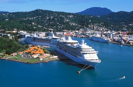
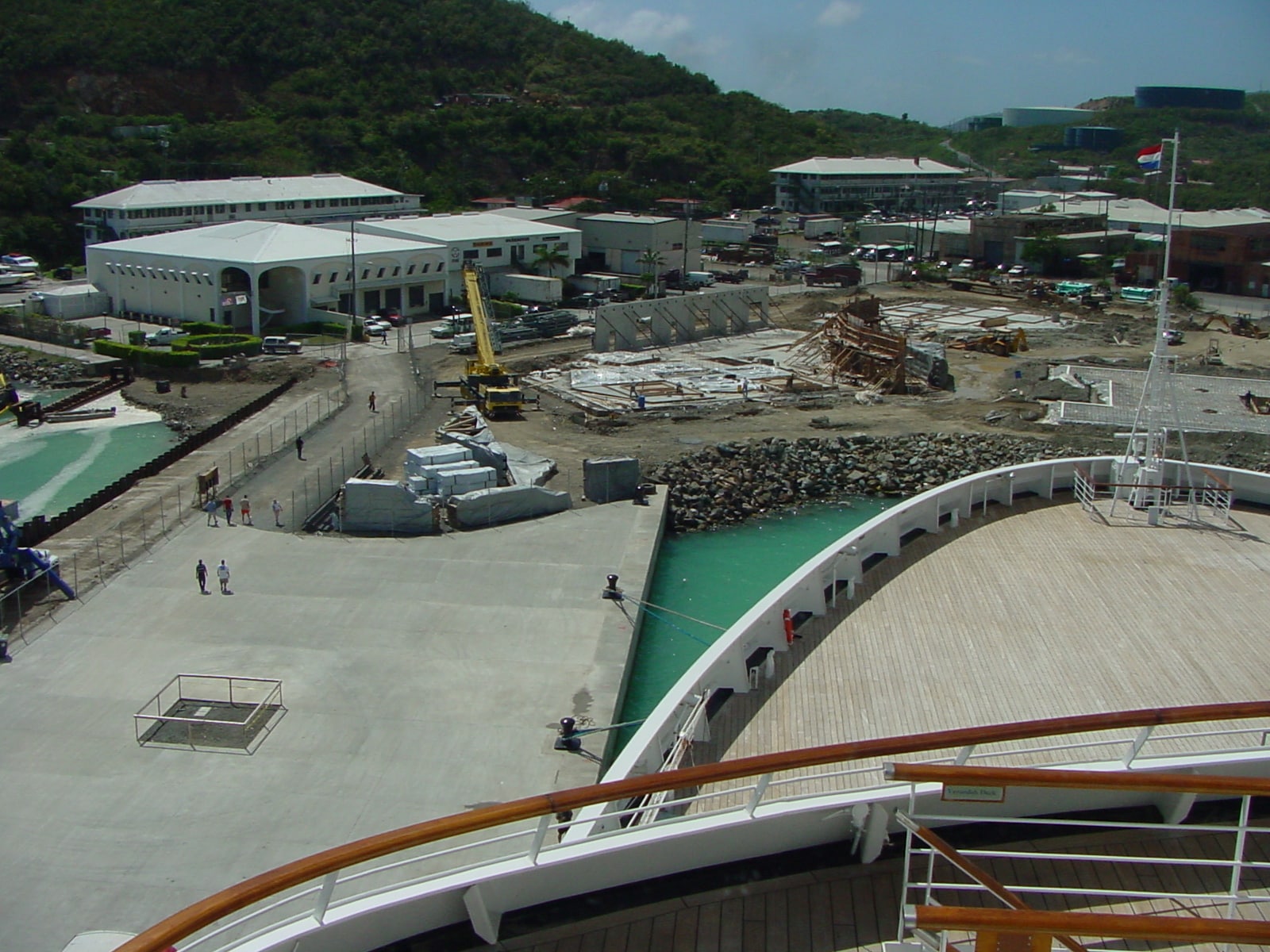
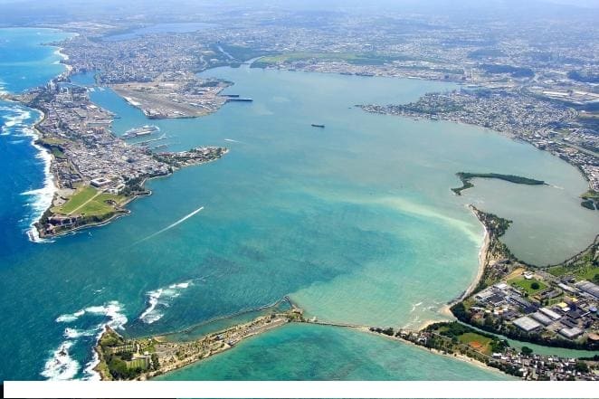
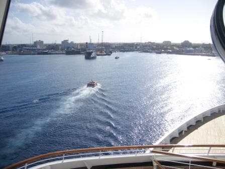
Grand Cayman was still as it was and the way I remembered it from a few years ago. When coming from the South you could see the Oil Tanks on the South West corner but not much else. Then slowly the houses come in view and finally when rounding the South West corner, you see Georgetown. Only when you come very close you can see that there is a sort of harbor there. Consisting of a small square with tender piers on both sides, two larger cargo docks capable of receiving small container ships which supply the island and next to it a larger cruise tender pier built about 10 years ago when the Mega Liners started to call in.
Approaching Grand Cayman from the South
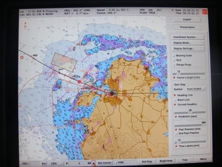
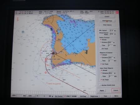
The weather looked really good with not too much wind and not many clouds around the island. The only thing that was indeed not very nice, and was going to be a challenge, was the wind. Under ideal circumstances the wind is from the north east and blows over the island. Easterly winds are not very problematic either but south Easterly winds are not nice. As long as they are not too strong they are not a danger to the ship but they do push swell and current around the S.W. corner of the island and that affects the tender operation.
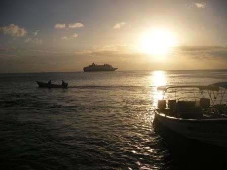
Anchorage number 4 right opposite the port
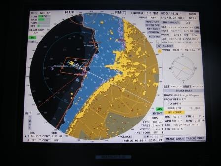
We do not really want wind still weather at Grand Cayman; we want a regular steady trade wind from the NE or East. The ships all anchor on the edge of the reef in about 30 to 50 feet water. It is anchoring on a ledge. While the bow is above 30 feet of water, the rest of the ship is off the ledge and drifts above a 1000 feet of water. If the wind would stop, the ship could drift forward and then drift aground when it goes past where the anchor lays. It gets too shallow on the ledge very quickly. The constant trade wind prevents that. It pushes the ship away from the reef, while the anchor keeps it close to it. There are four anchorages and we had 1, 2 and 4 in use today. Carnival Splendor on 1, Carnival Pride on 2 and us on 4 which is the closest to the town. We anchored on a square area of about 100 square feet in order not to damage the rest of the reef. To accomplish this, the pilot comes out in his boat, sits on the exact spot for the anchor, the captain brings the anchor above this boat…….literally on the foot…… boat moves away and anchor goes down.
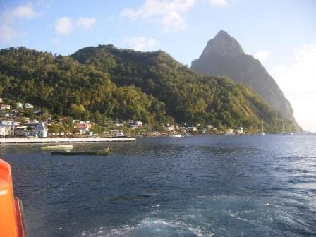
A beautiful day. As you cannot see the swell and the current you would think it was a perfect day.
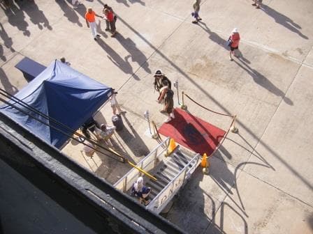
Today we had challenges with this S.E. wind as it pushed the swell over the anchorage areas. Which meant that we could only use our leeside (Portside) platform, as there was too much swell on the sb. side. Then the current came up around the ship as well making it necessary to tie each tender alongside the platform with two ropes to keep it from drifting away. Then the tender driver finds a balance on the engines and twist in such a way that there is no gap between platform and tender. With only one platform available and the time it took each time to tie up safely, we had a slow tender operation. But safety comes first and thus not much we could do to speed the proceedings up. The captain had even hired a shore side tender to ensure that there was no lack of capacity. So the ship did its best but the battle against Mother Nature can be difficult even if she looks at her best.
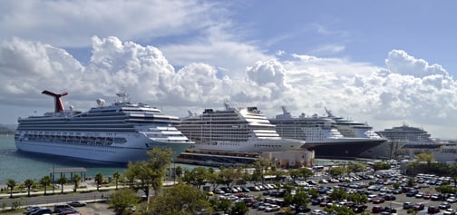
By 3 pm. We had gotten over 1000 guests to the island and back again. The rest had been there, bought the T-shirt already and thus did not bother. Now it was time to set sail for Home port Tampa. The two Carnival ships had arrived later and thus sailed sometime later as well. At least they were not in the way, as their tenders dock at the Whatley Pier which is a bit further away from town.
Tomorrow will be our last day of the cruise while we sail around the West Point of Cuba. The weather should be nice and warm and only getting chillier late tomorrow afternoon when we are past the Gulf Stream and enter the Gulf of Mexico.